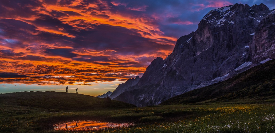
The quintessential trek across the Swiss Alps, from Liechtenstein to Grindelwald
Hikers on the Grosse Scheidegg. Courtesy Switzerland Tourism. Photo by Thomas Senf
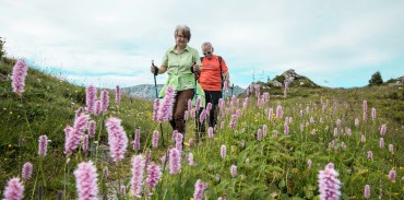
The most scenic trek in the Alps
Hikers near Gruben. Photo by Ivo Scholz, Courtesy Switzerland Tourism
World class hiking in the Italian Alps
Passo di Giau. Photo by Tom Dempsey
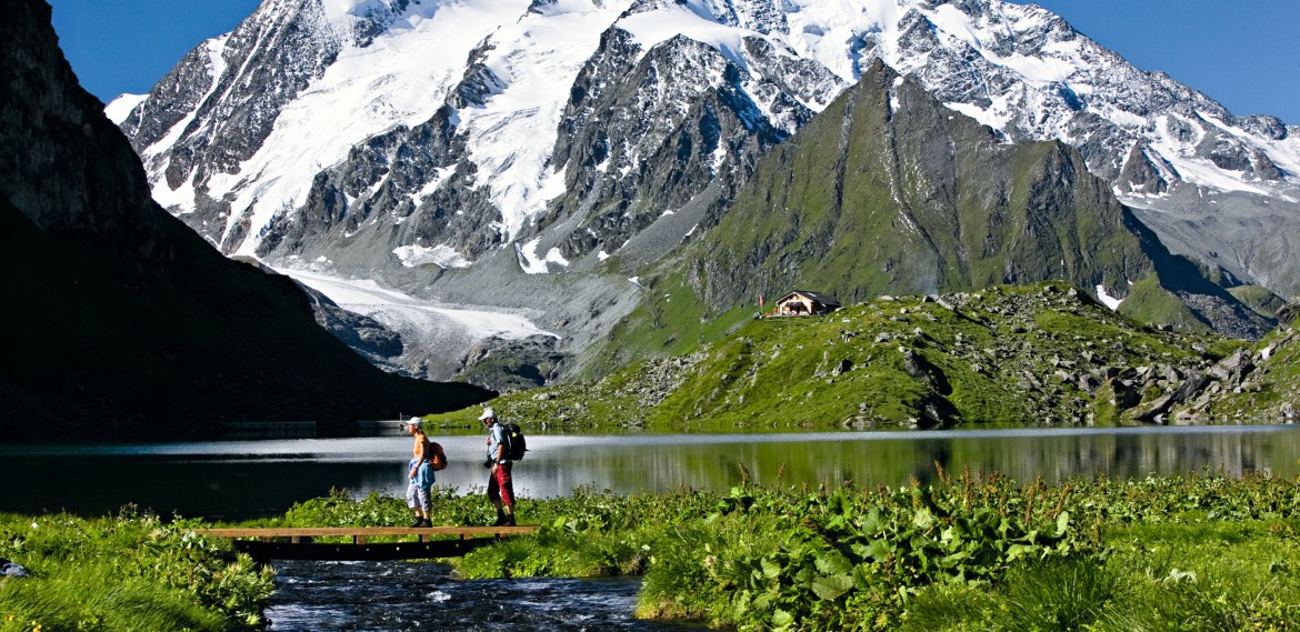
Explore the two most picturesque corners of the Alps—Zermatt and the Jungfrau Region.
Jungfrau region. Photo courtesy of Switzerland Tourism
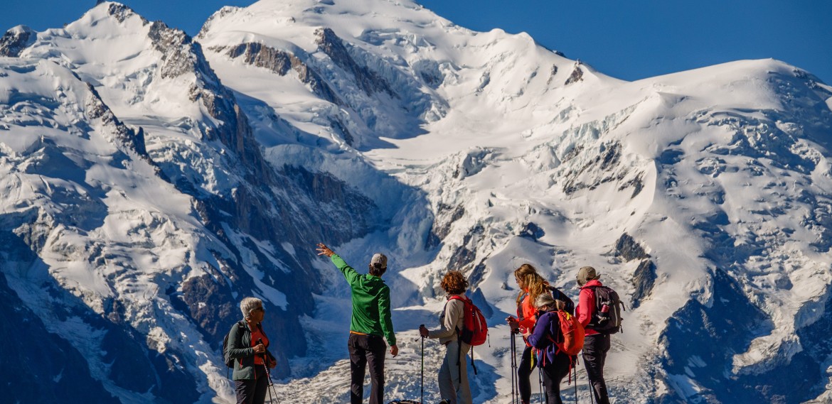
Circle the highest peak of the Alps in style
Guests enjoy trekking on the Tour du Mont Blanc. Photo by Tom Dempsey
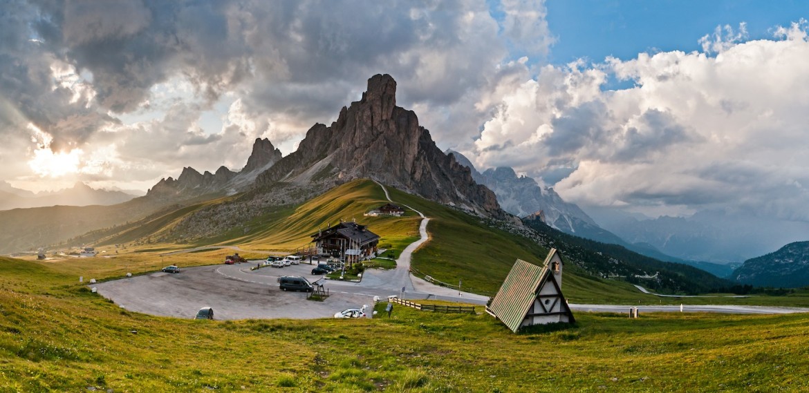
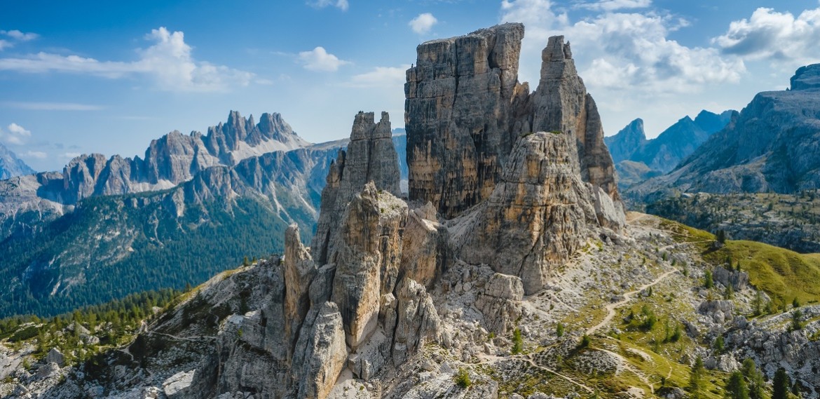
A Panoramic Paradise: Discovering the Magnificent Scenery of the Italian Dolomites
Cinque Torri
Hiking through Provence: Where Beauty Meets Adventure
Gordes, France
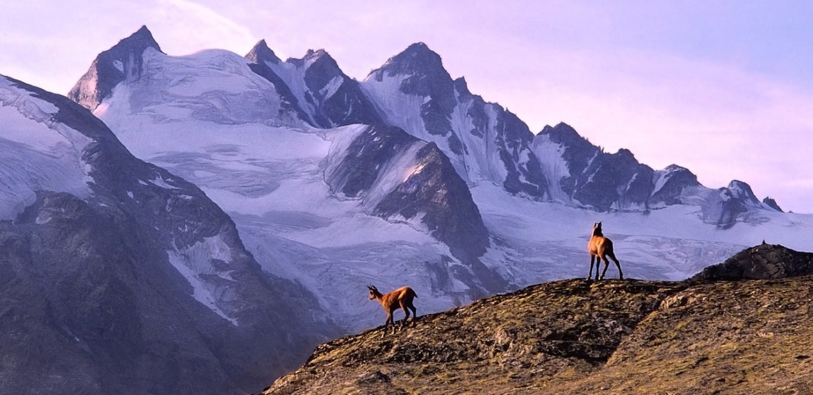
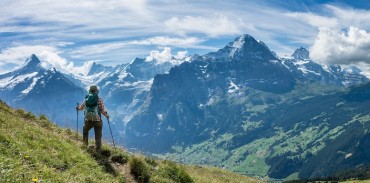
The best peaks of the Italian Alps—The Matterhorn, Monte Rosa, and Gran Paradiso
Gran Paradiso National Park
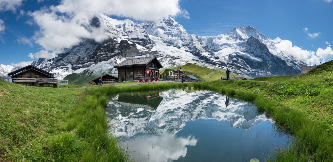
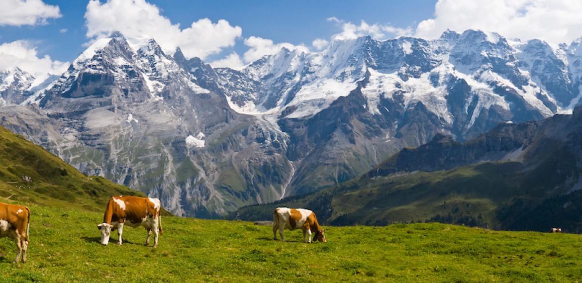
Inn-to-inn hiking in the Jungfrau UNESCO World Heritage Region
Cows enjoying the grass and mountain views in the Jungfrau. Photo by Tom Dempsey
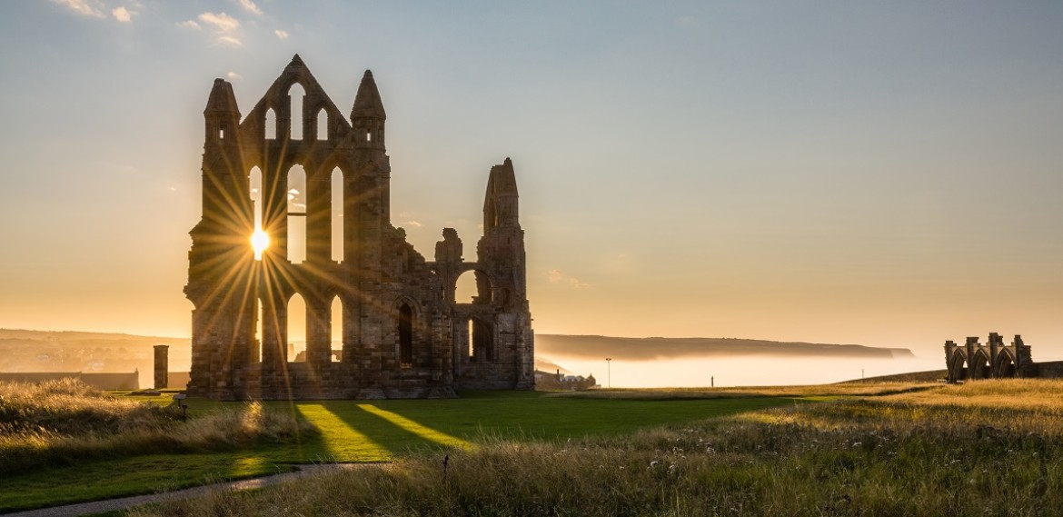
Romantic landscapes in the Lake District and Yorkshire Dales.
The gothic ruins of Whitby Abbey. Photo credit by Tom Dempsey
Explore the Alps on foot with guided dayhikes and active excursions from charming mountain villages.
The classic treks in the Alps: the Haute Route, Tour du Mont Blanc or Via Alpina. For moderate to advanced hikers.
Capture the Alps on legendary mountain railways like the Glacier Express and Jungfraujoch.
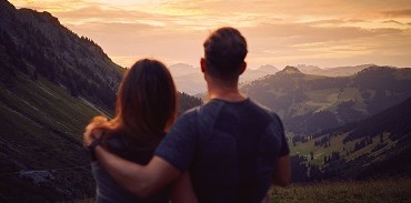
Ultimate independence, flexibility, and value. Your vacation, Alpenwild's expertise.
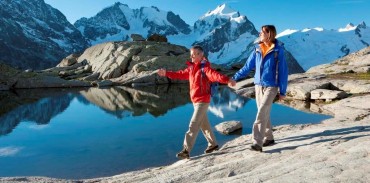
Discover the Alps and scenic Switzerland on gentle walks and mountain excursions
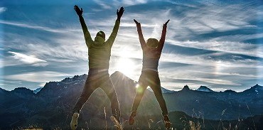
Discover the Alps on an Alpenwild Getaway, a self-guided, short-stay vacation in our favorite Alpine destinations. Ideal for pre- and post-tour travel
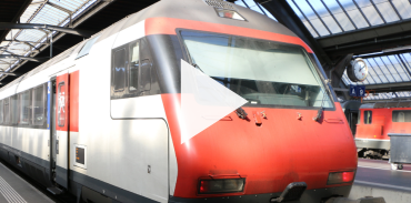
Sarah shares some tips and tricks for traveling by train in Switzerland. Luckily, Switzerland's rail system is very easy to navigate.
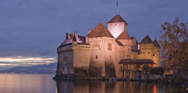
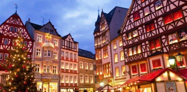
Switzerland's most scenic and historic cities—Basel, Zurich, Luzern, Lugano—lit up for Christmas.
Alpenwild returning guests receive discounts for themselves and friends plus exciting premiums.
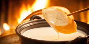
Switzerland is a foodie heaven. Cheese, chocolate and superb cuisine in the midst of the Alps.
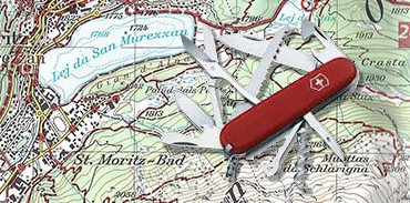
Get detailed Swiss Topo hiking maps and guidebooks to make the most of your trip
Stay up to date on the latest Alpenwild news. You're free to opt out at any time. See our Privacy Policy.
See our Privacy Policy.

.jpg&w=1170&h=569&zc=1)


.jpg&w=370&h=183&zc=1)
.jpg&w=370&h=183&zc=1)